


Definition of state boundaries and creation of maps: methods and sources
A state border is a legally established line and vertical surface defining the limits of sovereignty on land, water, subsoil, and airspace.
It defines where the jurisdiction of one state ends and that of another begins, and serves as the basis for security, resource management, and tax and customs systems.
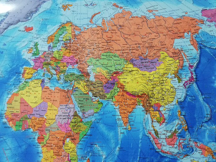
Defining the borders of countries is impossible without an accurate cartographic basis: an agreement on a line on the ground must be expressed in coordinates, descriptions, and maps suitable for use in actual governance. Therefore, law, geodesy, and cartography work together: legal documents define the meaning and status of a border, while measurements and maps ensure its unambiguity and reproducibility.
Legal Foundations for Establishing Borders
Borders are formed through international and domestic legal procedures, in which the key role is played by coordinating the positions of the parties and formalizing the results in documents. For neighboring states, these are most often bilateral treaties; for maritime areas, these are the norms of international maritime law; and for special cases, these are decisions of international courts and arbitration courts.
Delimitation: Agreeing a Line on a Map
Delimitation is the stage at which the parties determine the course of a border in legal terms and on cartographic materials. The agreement typically specifies:
- a description of the line (along rivers, watersheds, straight segments, along a parallel/meridian);
- a list of turning points with coordinates;
- attached maps as an integral part of the agreement;
- the procedure for resolving disputes and updating data when terrain changes.
In delimitation, it is important that the description be unambiguous: formulations such as “along the main channel” or “along the thalweg” require technical criteria, otherwise they give rise to disagreements.
Demarcation: Establishing the Boundary on the Ground
Demarcation translates the agreement into physical reality. A joint commission is created to clarify coordinates, install boundary markers, and prepare final documents. The results typically include:
- work reports and protocols;
- coordinate and elevation catalogs;
- demarcation maps and diagrams;
- descriptions of each marker and its relationship to the terrain.
Once demarcated, the border becomes practical: it can be verified on the ground and used for control, land management, and infrastructure projects.
Border Redemarcation and Maintenance
Over time, boundary markers deteriorate, the landscape changes, and new roads and facilities appear. To maintain accuracy, redemarcation is carried out—the restoration and clarification of markers and documentation without revising the agreement itself. In areas with complex geology or active construction, this is a regular necessity.
Legal Sources of Delimitation: Treaties, Laws, International Acts
The legal formalization of a border relies on a hierarchy of legal sources that establish the delimitation line, the procedure for its description, and the methods of its representation on maps. It is the legal document that transforms a border into not just a geographic line, but a recognized regime of the territory and jurisdiction of a state.
Cartographic materials in this context serve as evidence and a tool: they clarify, visualize, and enable the application of treaty-based descriptions on the ground. However, it is not the map itself that is decisive, but its connection to a legal norm—a treaty, law, or international act—that specifies the legal force of annexes, coordinates, and procedures.
Key Sources and Their Role
- International Treaties (bilateral and multilateral): establish the border line, its alignment along natural boundaries or coordinates, the demarcation procedure, and the regime of boundary waters. Often contain appendices—maps, diagrams, coordinate catalogs, and minutes of joint commissions.
- National laws and regulations: establish internal procedures for implementing agreements (maintenance of registers, authority of agencies, border protection and regime regulations), and may also approve official cartographic materials and the procedures for their use by government agencies.
- International acts and documents of international organizations: recognition acts, resolutions, decisions of international courts and arbitration tribunals, and final documents of peace settlements. Their significance lies in confirming the legitimacy of delimitation and creating legal consequences binding on the parties.
- Technical demarcation and delimitation documents: minutes of boundary commissions, acts of installing boundary markers, descriptions of lines on the ground, coordinate logs. They receive legal force through direct mention in a treaty or through approval by competent authorities.
Result: the borders of a state are determined not by a map as such, but by a system of legal sources, where a treaty defines the legal delimitation line is defined, national law ensures its application and protection, and international instruments confirm its binding nature and recognition. Maps and coordinates become legal instruments only when they are directly included in the relevant normative context and clearly linked to established delimitation and demarcation procedures.
Hello!! My name is Jeanine
I love to eat, travel, and eat some more! I am married to the man of my dreams and have a beautiful little girl whose smiles can brighten anyone’s day!